UN
39 Northwood Road
£ 139,000
Description
We don't have a Description for this property.
- Bedrooms
- 2
- Bathrooms
- 0


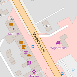


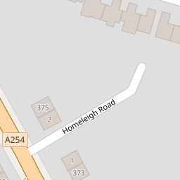

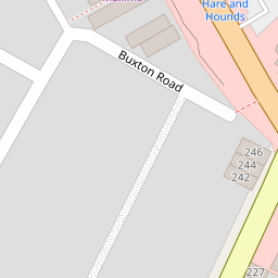


Leaflet © OpenStreetMap contributors
The heatmap indicates the level of crime in the area. The color of the heatmap indicates the crime severity and recency.
Metrics Year-on-Year
- Average area value
- 676,403.00 £Increased by 11.59 %
- Average area rental value
- 2,002.00 £/moIncreased by 2.40 %
- Est rental Yield
- 3.55 %Decreased by 8.27 %
- Crime Rate
- 1.00 %Unchanged by 0.00 %
from 606,126.00 £
from 1,955.00 £/mo
from 3.87 %
from 1.00 %
Nearby Schools
| Name | Type | Ofsted | Distance |
|---|---|---|---|
| Dame Janet Primary Academy | Academy Sponsor Led | Good | 0.56 KM |
| Foreland Fields School | Foundation Special School | Good | 0.91 KM |
| The Royal Harbour Academy | Foundation School | Requires improvement | 0.98 KM |
| Small Haven School | Other Independent Special School | Good | 0.99 KM |
| Ramsgate Arts Primary School | Free Schools | Good | 1.04 KM |
Images
Nearby Streets
| Name | Average Price | Average Sqft | Distance |
|---|---|---|---|
| Vincent Close | £ 400,000 | 0 | 0.00 KM |
| Highfield Road | £ 252,500 | 0 | 0.00 KM |
| Pysons Road | £ 320,929 | 0 | 0.00 KM |
| Windmill Avenue | £ 320,000 | 0 | 0.00 KM |
| St. James Avenue | £ 308,767 | 0 | 0.00 KM |
Nearby Transport
| Name | NLC | TLC | Distance |
|---|---|---|---|
| Ramsgate | 5023 | RAM | 1.42 KM |
| Dumpton Park | 5034 | DMP | 2.66 KM |
| Broadstairs | 5006 | BSR | 3.49 KM |
| Margate | 5018 | MAR | 4.97 KM |
| Westgate-On-Sea | 5195 | WGA | 7.81 KM |
Nearby Listings
| Address | Price | Type | Score | Distance |
|---|---|---|---|---|
| Margate Road, Ramsgate, CT12 | £ 450,000 | BUY | 7 / 10 | 0.09 KM |
| Violet Avenue, Ramsgate, Kent, CT12 | £ 300,000 | BUY | 6 / 10 | 0.10 KM |
| Violet Avenue, Ramsgate, Kent, CT12 | £ 300,000 | BUY | Unknown | 0.15 KM |
| Newington Road, Ramsgate, Kent | £ 248,000 | BUY | 6 / 10 | 0.19 KM |
| Newington Road, Ramsgate, Kent | £ 152,500 | BUY | 7 / 10 | 0.19 KM |
Nearby Properties
| Address | Price | Distance |
|---|---|---|
| 41 Northwood Road | £ 160,000 | 0.00 KM |
| 45 Northwood Road | £ 195,000 | 0.00 KM |
| 31 Northwood Road | £ 208,000 | 0.00 KM |
| 27 Northwood Road | £ 220,000 | 0.00 KM |
| 35 Northwood Road | £ 134,000 | 0.00 KM |